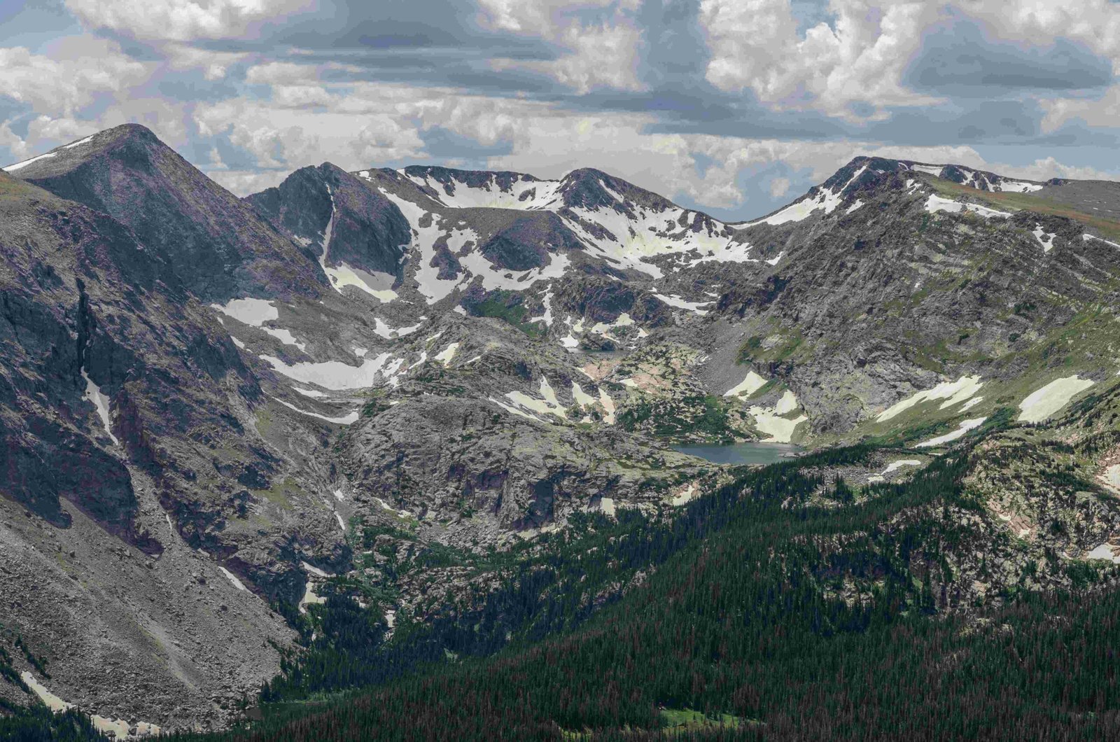
Bear Lake in Rocky Mountain National Park is a stunning alpine lake surrounded by majestic peaks and dense forests. Google satellite imagery reveals its pristine beauty and strategic location as a popular trailhead. At an elevation of 9,500 feet, Bear Lake offers visitors breathtaking views and access to numerous hiking trails. The satellite view showcases the lake’s crystal-clear waters, surrounding pine forests, and the rugged terrain of the Rocky Mountains.
What Are the Key Features Visible in Google Satellite Images of Bear Lake?

Google satellite imagery of Bear Lake in Rocky Mountain National Park reveals several notable features:
- The lake itself, with its distinctive circular shape
- Dense coniferous forests surrounding the lake
- Parking areas and visitor facilities
- Trailheads leading to various hiking routes
- Nearby peaks and mountain ridges
- The winding Bear Lake Road leading to the site
How Can Google Satellite Help Plan a Visit to Bear Lake?

Google satellite imagery can be an invaluable tool for planning a visit to Bear Lake:
- Parking Assessment: Visualize the size and layout of parking areas.
- Trail Planning: Identify trailheads and potential routes.
- Terrain Evaluation: Gauge the difficulty of hikes based on visible topography.
- Scenic Spots: Locate potential viewpoints and photo opportunities.
- Facility Location: Find visitor centers, restrooms, and picnic areas.
What Are the Geographical Coordinates of Bear Lake?
Bear Lake is located at the following coordinates:
- Latitude: 40.312912
- Longitude: -105.646400
These coordinates can be used in Google Maps or other GPS devices to pinpoint the exact location of the lake.
How High is Bear Lake Above Sea Level?
Bear Lake sits at an elevation of approximately 9,500 feet (2,896 meters) above sea level. This high altitude contributes to its alpine environment and stunning views of the surrounding Rocky Mountains.
What Trails Can Be Seen from Google Satellite Images?
While individual trails may not be clearly visible in satellite imagery, the following major trails originate from Bear Lake:
- Bear Lake Loop Trail
- Nymph, Dream, and Emerald Lakes Trail
- Lake Haiyaha Trail
- Flattop Mountain Trail
- Fern Lake Trail
- Bierstadt Lake Trail
How Does the Terrain Around Bear Lake Appear in Satellite View?
The terrain surrounding Bear Lake, as seen in Google satellite images, is characterized by:
- Dense coniferous forests
- Rocky outcrops and boulders
- Steep mountain slopes
- Alpine meadows
- Snowfields (depending on the season)
- Winding mountain roads
What Facilities Are Visible Near Bear Lake in Satellite Images?
Google satellite imagery of the Bear Lake area may reveal the following facilities:
- Large parking lot
- Visitor center or ranger station
- Trailhead markers and information boards
- Restroom facilities
- Picnic areas
- Bus stop for park shuttles
How Does Bear Lake’s Appearance Change Seasonally in Satellite Images?
Bear Lake’s appearance in Google satellite images can vary significantly depending on the season:
| Season | Typical Appearance |
|---|---|
| Spring | Partially thawed lake, some snow patches |
| Summer | Clear blue water, lush green forests |
| Fall | Possible autumn colors in surrounding vegetation |
| Winter | Frozen lake surface, snow-covered landscape |
What Nearby Landmarks Can Be Identified in Satellite View?
Several notable landmarks can be identified near Bear Lake in Google satellite images:
- Hallett Peak
- Flattop Mountain
- Bierstadt Lake
- Glacier Gorge
- Longs Peak (in the distance)
- Moraine Park (to the east)
How Can Google Satellite Images Assist in Understanding Bear Lake’s Ecosystem?
Google satellite imagery provides valuable insights into Bear Lake’s ecosystem:
- Forest Density: Observe the extent and health of surrounding forests.
- Alpine Zones: Identify transitions between forested and alpine areas.
- Water Resources: Spot connected lakes, streams, and wetlands.
- Human Impact: Assess the extent of developed areas and trails.
- Wildlife Habitats: Infer potential habitats based on terrain and vegetation.
What Safety Considerations Can Be Inferred from Satellite Images?
While satellite images can’t provide real-time safety information, they can help visitors prepare for:
- Steep terrain and challenging hikes
- Remote areas with limited access
- Potential weather exposure in open areas
- Wildlife encounters in forested regions
- Limited cell phone coverage in certain areas
How Does Google Satellite Imagery Compare to On-Ground Experience at Bear Lake?
Google satellite imagery provides a valuable overview, but differs from on-ground experience in several ways:
- Scale: Satellite images may not convey the true scale of the landscape.
- Detail: Small features like trail conditions are not visible from space.
- Atmosphere: The crisp mountain air and scents can’t be captured in images.
- Wildlife: Animals and birds are not visible in satellite imagery.
- Seasonal Changes: Images may not reflect current conditions on the ground.
What Conservation Efforts Can Be Observed Through Satellite Imagery?
Google satellite images may reveal some conservation efforts at Bear Lake:
- Designated trails to prevent off-trail damage
- Reforestation or erosion control projects
- Limited development to preserve natural areas
- Protected wildlife corridors
- Managed parking areas to control visitor impact
By utilizing Google satellite imagery of Bear Lake in Rocky Mountain National Park, visitors can gain valuable insights for trip planning, appreciate the area’s natural beauty, and better understand the park’s ecosystem and conservation efforts.