Rocky Mountain National Park, a hiker’s paradise, offers an extensive network of trails catering to all skill levels. AllTrails, a popular hiking app and website, provides detailed information on these trails, including user reviews, difficulty ratings, and route maps. This guide explores the diverse hiking opportunities in Rocky Mountain National Park, from easy strolls around alpine lakes to challenging summit ascents, all accessible through the AllTrails platform.
What Are the Most Popular Trails on AllTrails in Rocky Mountain National Park?

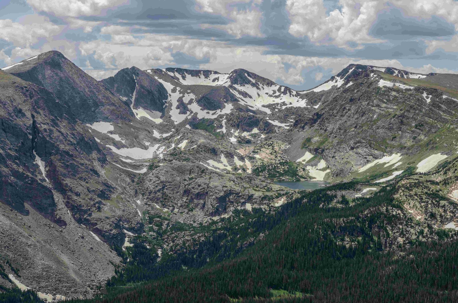
Rocky Mountain National Park boasts numerous trails that have gained popularity among AllTrails users. Here are some of the top-rated trails:
- Bear Lake Loop
- Emerald Lake Trail
- Sky Pond via Glacier Gorge Trail
- Alberta Falls Trail
- Deer Mountain Trail
- Chasm Lake Trail
- Gem Lake Trail
- Ouzel Falls Trail
- Longs Peak Trail
- Fern Lake Trail
These trails offer a diverse range of experiences, from easy walks to strenuous hikes, showcasing the park’s stunning landscapes, wildlife, and alpine ecosystems.
How Does AllTrails Help in Planning Hikes in Rocky Mountain National Park?

AllTrails serves as an invaluable resource for hikers planning their adventures in Rocky Mountain National Park. Here’s how it assists:
- Detailed Trail Information: Provides accurate trail lengths, elevation gains, and difficulty ratings.
- User Reviews: Offers recent trail conditions and experiences from fellow hikers.
- Interactive Maps: Allows users to download offline maps for navigation without cell service.
- Trail Photos: Showcases user-submitted photos to give a visual preview of the trail.
- Weather Forecasts: Integrates local weather information for better planning.
- Tracking Features: Enables users to record their hikes and share experiences.
What Are the Difficulty Levels of Trails in Rocky Mountain National Park?
AllTrails categorizes trails in Rocky Mountain National Park into three main difficulty levels:
| Difficulty Level | Characteristics | Examples |
|---|---|---|
| Easy | Short distance (< 3 miles), minimal elevation gain (< 500 ft) | Bear Lake Loop, Sprague Lake Trail |
| Moderate | 3-7 miles, elevation gain 500-2000 ft | Emerald Lake Trail, Alberta Falls Trail |
| Hard | Long distance (> 7 miles), significant elevation gain (> 2000 ft) | Longs Peak Trail, Chasm Lake Trail |
How Can I Use AllTrails to Find Less Crowded Trails in Rocky Mountain National Park?
To discover less crowded trails using AllTrails:
- Use the search filters to sort by “Less traveled” or “Low traffic”
- Read recent user reviews for mentions of crowd levels
- Consider hiking during off-peak hours or seasons
- Explore trails in less popular areas of the park, such as the Wild Basin or North Fork areas
- Use the AllTrails Pro feature to access off-trail routes and alternatives
What Safety Precautions Does AllTrails Recommend for Hiking in Rocky Mountain National Park?
AllTrails emphasizes the importance of safety while hiking in Rocky Mountain National Park. Key recommendations include:
- Check trail conditions and weather forecasts before setting out
- Carry essential gear: map, compass, first-aid kit, and plenty of water
- Be aware of altitude sickness symptoms and acclimatize properly
- Follow Leave No Trace principles to protect the park’s ecosystem
- Inform someone of your hiking plans and expected return time
- Be prepared for sudden weather changes, especially at higher elevations
- Carry bear spray and know how to use it
How Accurate Are the Trail Maps on AllTrails for Rocky Mountain National Park?
AllTrails provides generally accurate trail maps for Rocky Mountain National Park, but it’s important to note:
- Maps are regularly updated based on user feedback and official park information
- GPS accuracy can vary depending on terrain and satellite coverage
- Always cross-reference with official National Park Service maps
- User-generated content may occasionally contain inaccuracies
- AllTrails Pro offers more detailed topographic maps and offline access
What Unique Features Does AllTrails Offer for Rocky Mountain National Park Hikers?
AllTrails provides several unique features for hikers exploring Rocky Mountain National Park:
- Customized Lists: Create personal lists of trails you want to hike
- Completion Badges: Earn virtual badges for completing specific trails or challenges
- Seasonal Information: Access data on best times to hike specific trails
- Trail Conditions Reports: Real-time updates from recent hikers
- Integration with Fitness Apps: Sync your hikes with other fitness tracking platforms
- Community Forums: Engage with other hikers for tips and advice
How Can I Contribute to AllTrails Information for Rocky Mountain National Park?
AllTrails encourages user contributions to enhance its database. Here’s how you can contribute:
- Write detailed reviews of trails you’ve hiked
- Upload clear, high-quality photos of the trails and scenery
- Report any trail closures or condition changes
- Suggest corrections to trail information if you notice inaccuracies
- Share your recorded GPS tracks for improved mapping accuracy
- Participate in community discussions and answer questions from other hikers
What Are Some Lesser-Known Trails in Rocky Mountain National Park Featured on AllTrails?
While popular trails often get the spotlight, AllTrails also features some hidden gems in Rocky Mountain National Park:
- Ypsilon Lake Trail
- Mount Ida Trail
- Cub Lake Trail
- Lawn Lake Trail
- Sandbeach Lake Trail
- Timber Lake Trail
- Cascade Falls Trail
- Bluebird Lake Trail
- Thunder Lake Trail
- Finch Lake Trail
These trails offer solitude and unique perspectives of the park’s diverse landscapes.
How Does AllTrails Help in Planning Multi-Day Backpacking Trips in Rocky Mountain National Park?
For those planning extended adventures, AllTrails provides valuable resources:
- Detailed Mileage: Accurate distance information for trip planning
- Elevation Profiles: Helps in assessing the difficulty of multi-day routes
- Campsite Locations: Information on backcountry campsites along trails
- User Reports: Recent experiences from backpackers on trail and campsite conditions
- Offline Maps: Essential for navigation in areas without cell service
- Connecting Trails: Suggestions for linking multiple trails into longer routes
- Water Source Information: Critical for planning water resupply points
By leveraging these features, hikers can create well-informed and safe backpacking itineraries in Rocky Mountain National Park.