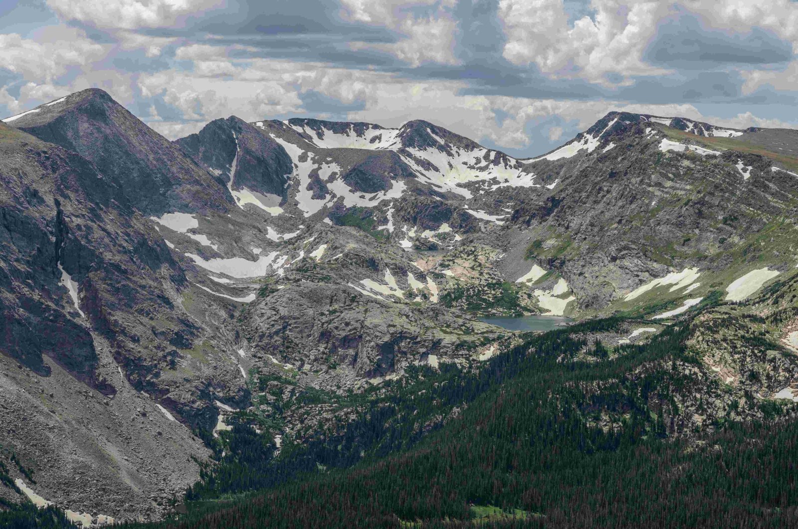
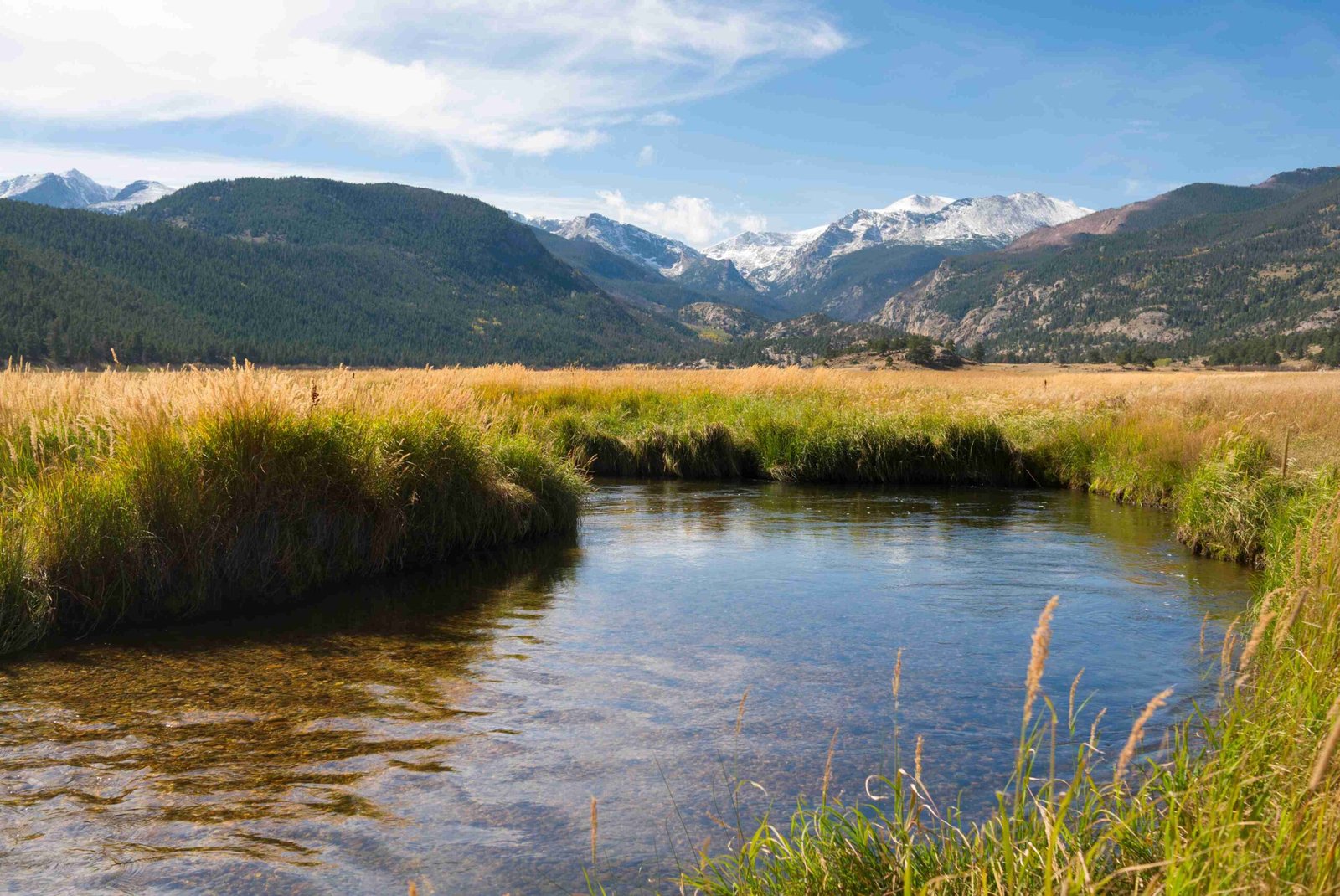
The Keyhole Rocky Mountain National Park offers a strenuous and exhilarating hiking experience for adventurers seeking to conquer Longs Peak. This iconic route, known for its challenging terrain and breathtaking views, takes hikers through diverse landscapes, from dense forests to exposed rocky sections. The Keyhole route is a 14.5-mile round trip that ascends 3,825 feet to reach the summit at 14,259 feet, making it one of the most demanding day hikes in Rocky Mountain National Park.
What Makes The Keyhole Route Unique?

The Keyhole route is renowned for its distinctive features and challenging sections:
- The Boulder Field: A vast expanse of large rocks and boulders
- The Keyhole: A notch in the mountain’s profile that marks the transition to more technical terrain
- The Ledges: Narrow paths with significant exposure
- The Trough: A steep gully often filled with loose rock and snow
- The Narrows: A section with sheer drop-offs on one side
- The Homestretch: The final push to the summit on steep, smooth granite
Each of these sections presents its own challenges and requires careful navigation and proper equipment.
What Are The Current Trail Conditions?

Trail conditions on the Keyhole route can vary significantly depending on the time of year and recent weather patterns. As of the latest reports:
- Snow and ice persist in the Trough, particularly along the climber’s right side
- Microspikes are highly recommended for navigating icy sections
- Weather conditions can change rapidly, with high winds and thunderstorms common in the afternoon
It’s crucial to check the most recent trail reports and weather forecasts before attempting the hike.
What Equipment Is Necessary For The Keyhole Route?
Given the challenging nature of the Keyhole route, proper equipment is essential for a safe and successful hike. Here’s a list of recommended gear:
- Sturdy hiking boots or approach shoes
- Microspikes or crampons (depending on conditions)
- Trekking poles
- Helmet (for protection against rockfall)
- Layers of clothing for varying temperatures
- Sun protection (sunscreen, hat, sunglasses)
- Headlamp (for early starts and potential late finishes)
- First aid kit
- Navigation tools (map, compass, GPS)
- Plenty of water and high-energy snacks
How Long Does It Take To Hike The Keyhole Route?
The Keyhole route is a demanding hike that typically takes 10-15 hours to complete round trip. Here’s a general breakdown of the time estimates:
| Section | Estimated Time |
|---|---|
| Trailhead to Keyhole | 3-4 hours |
| Keyhole to Summit | 2-3 hours |
| Summit to Keyhole | 1-2 hours |
| Keyhole to Trailhead | 3-4 hours |
These times can vary greatly depending on individual fitness levels, weather conditions, and time spent resting or enjoying the views.
What Are The Best Times To Hike The Keyhole Route?
The optimal time to hike the Keyhole route is typically from late July to early September when most of the snow has melted. However, even during this period, hikers should be prepared for potential snow and ice at higher elevations.
Considerations for timing your hike:
- Start early (around 2-3 AM) to avoid afternoon thunderstorms
- Weekdays are generally less crowded than weekends
- Fall can offer beautiful colors but comes with increased risk of early snow
How Do I Prepare For The Altitude?
The high altitude of the Keyhole route presents a significant challenge for many hikers. Here are some tips for altitude preparation:
- Acclimatize by spending a few days at elevation before attempting the hike
- Stay hydrated and drink plenty of water before and during the hike
- Avoid alcohol and caffeine the day before and day of the hike
- Consider using over-the-counter altitude sickness medication (consult with a doctor)
- Be aware of altitude sickness symptoms and turn back if they occur
What Wildlife Might I Encounter On The Trail?
The Keyhole route passes through diverse ecosystems, offering opportunities to observe various wildlife:
- Marmots and pikas are common in the rocky areas
- Bighorn sheep may be seen in the higher elevations
- Elk and deer are often spotted in the lower forested sections
- Various bird species, including Clark’s nutcrackers and ptarmigans
Remember to observe wildlife from a distance and never feed or approach animals.
Are There Camping Options Along The Keyhole Route?
For those looking to split the hike into multiple days, there are camping options available:
- Longs Peak Campground: Located near the trailhead, first-come, first-served
- Goblin’s Forest Backcountry Campsite: About 1.2 miles from the trailhead
- Boulder Field Backcountry Campsite: At 12,760 feet, requires a permit
Backcountry camping permits are required and can be obtained through the Rocky Mountain National Park website.
What Safety Precautions Should I Take?
Safety is paramount when attempting the Keyhole route. Key precautions include:
- Check weather forecasts and turn back if conditions deteriorate
- Inform someone of your hiking plans and expected return time
- Carry a charged cell phone, but don’t rely on it for navigation or rescue
- Know your limits and be prepared to turn back if necessary
- Stay on the marked route, following the bull’s-eye markers past the Keyhole
- Be aware of rockfall hazards, especially in the Trough and Narrows
How Can I Minimize My Environmental Impact?
As with all outdoor activities, it’s crucial to practice Leave No Trace principles:
- Pack out all trash, including biodegradable items
- Stay on designated trails to prevent erosion
- Use established restroom facilities or properly bury human waste
- Respect wildlife and observe from a distance
- Leave natural objects and cultural artifacts where you find them
By following these guidelines, we can help preserve the beauty and integrity of the Keyhole Rocky Mountain National Park for future generations.
The Keyhole route in Rocky Mountain National Park offers a challenging and rewarding experience for well-prepared hikers. With proper planning, equipment, and respect for the mountain environment, this iconic trail provides unforgettable views and a true sense of accomplishment. Always prioritize safety and be prepared to adjust your plans based on conditions and your own capabilities.
References:
1. Rocky Mountain National Park Official Website
2. Colorado Fourteeners Initiative
3. Leave No Trace Center for Outdoor Ethics
4. National Weather Service

